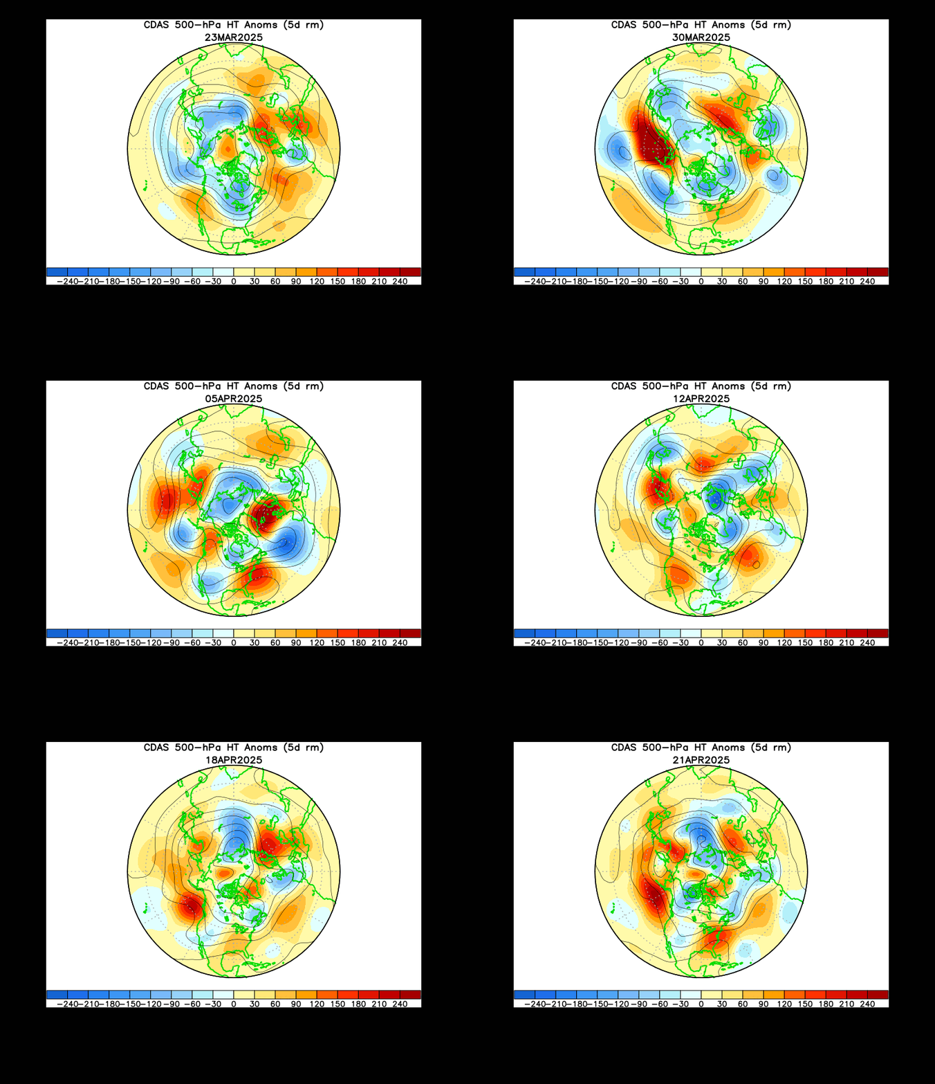
It may have been a waste of cold air the past two weeks with very little snow, but we are not done yet. The animation of the Northern Hemisphere shows the 500mb pattern for the past month. The USA is the bottom center section. Look to the right of center (north pole), which is Greenland and the North Atlantic. The blue shows the troughs and old air we have had the past few months. The red shows the increased heights- ridges and warmer air- early in the month- and trying to return again. More below:

Here you can see the graphical breakdown of the NAO- North Atlantic Oscillation. Negative numbers represent a blocking pattern which results in troughs and colder air on the east coast. The GFS forecast shows a this week's positive phase, but a negative phase developing in February. We will be warming up this week, but it's a good thing. The pattern needs to re-establish itself. The recent trough just wasn't producing a good storm track for us. Anything that generated to our south skipped off of the Carolina coast and could not turn the corner north and hit us (like some of us want). Although the Delmarva did get clipped this week. So the forecast for a positive NAO is just for a week, before a return to the cold phase. That will allow another shot of polar air- to set up what will hopefully be more favorable. There is a lot of energy in this La Nina winter- we just need it to reach us the right way. Remember that 8 0f the top 20 Baltimore snowstorms (about 12 inches or more) occurred in February. So while we range from mid 40s to near 50s this week, it's not all bad.
Sunday, January 27, 2008
Outlook Promising- Despite Warmup This Week
Subscribe to:
Post Comments (Atom)


No comments:
Post a Comment